

serviceS
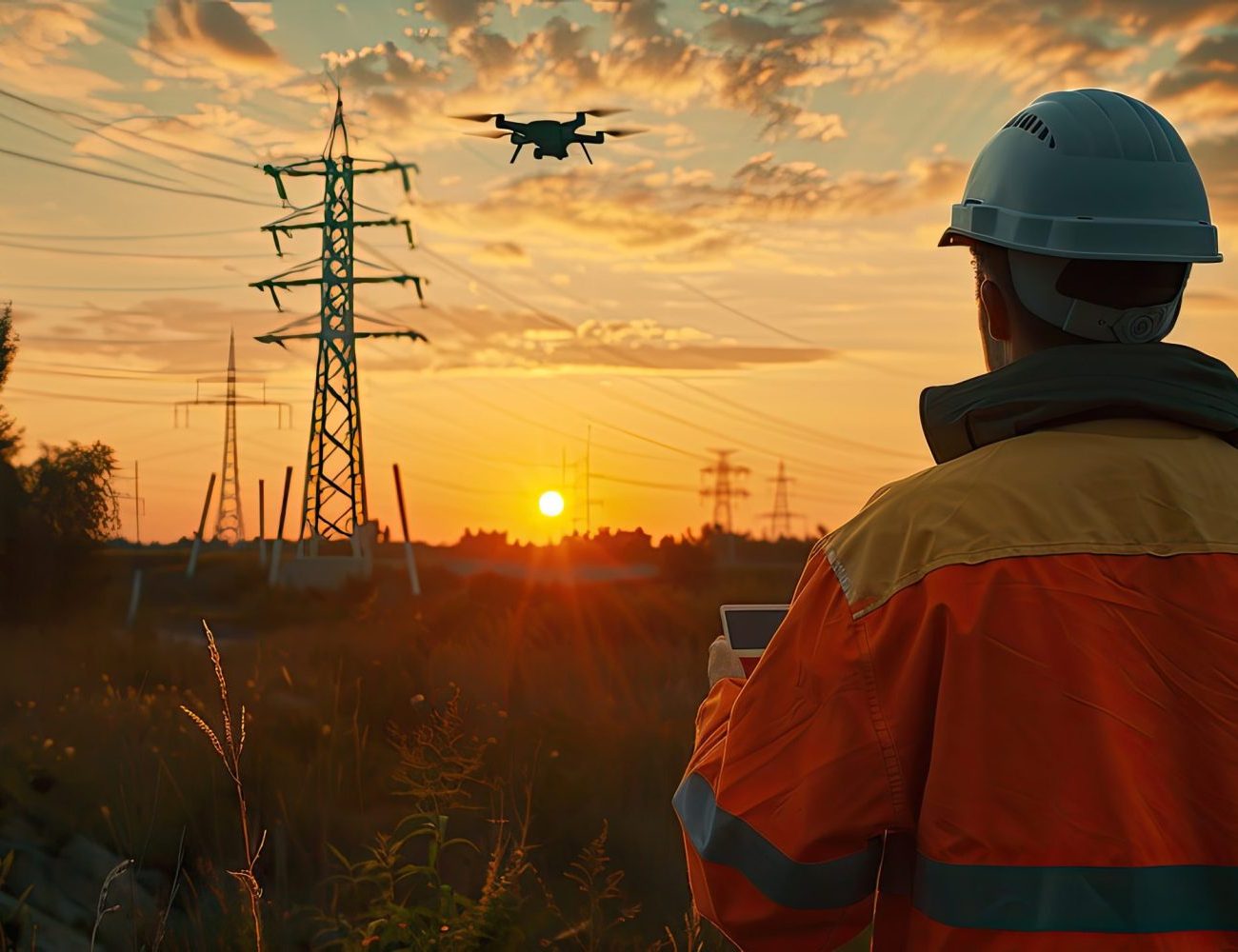
Inspection and Monitoring
Enhance your operational efficiency with cutting-edge drone technologies. We provide services for high-resolution, real-time inspections and monitoring of assets and infrastructure, delivering precise data and insights for proactive maintenance and safety while minimizing manual labor and risk.
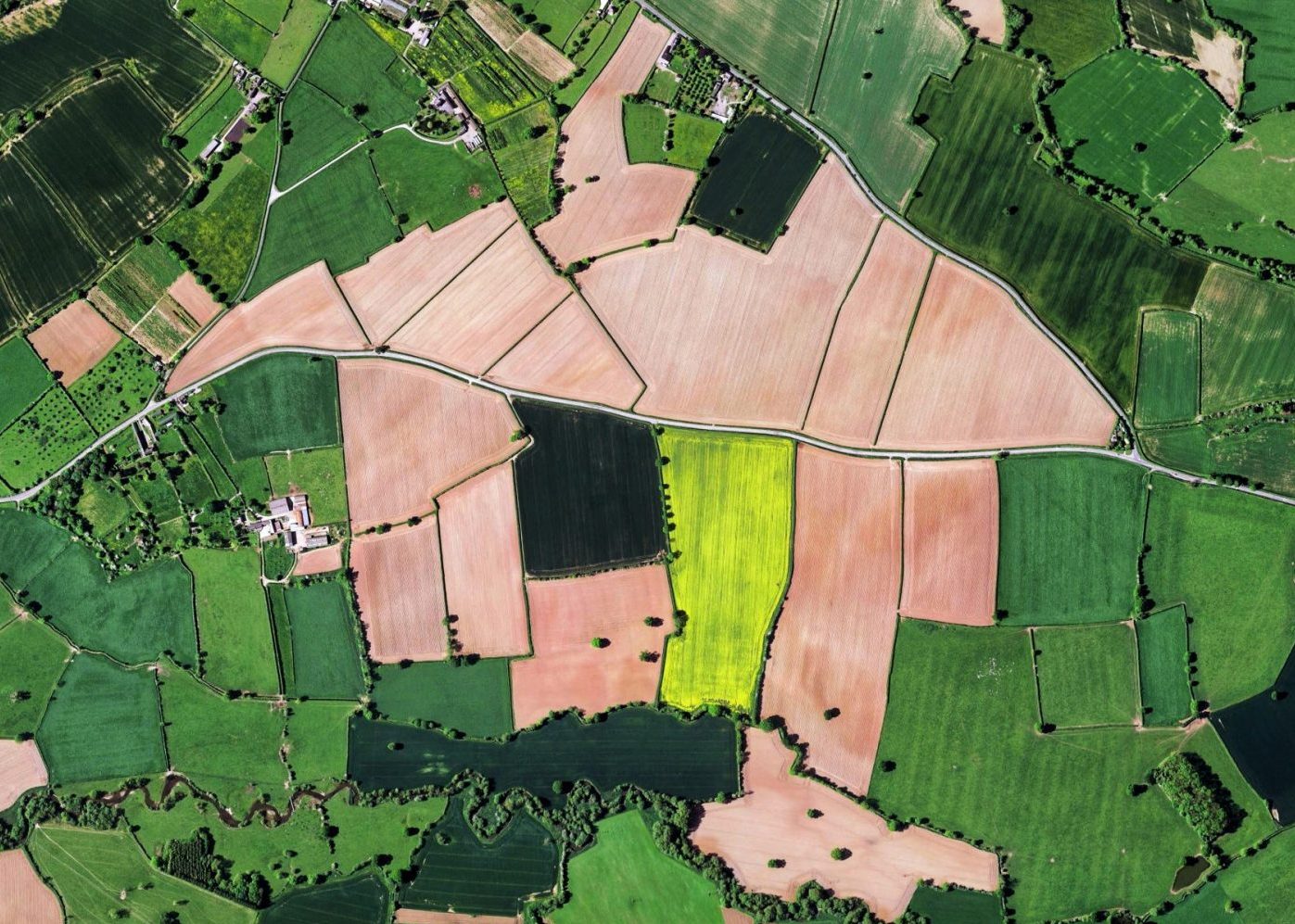
Surveying and Mapping
Elevate your data collection with our cutting-edge drone surveying and mapping solutions. We provide precise aerial surveys and detailed 3D mapping, swiftly capturing extensive topographical data. Suitable for construction, land development, and environmental analysis, our technology simplifies project planning and delivers clear, actionable insights.
Public Safety and Security
Enhance public safety with our advanced drone technology. We offer real-time surveillance and monitoring, providing high-definition video feeds and thermal imaging for effective emergency response and security management. Suitable for incident assessment, disaster response, and perimeter security, our solutions help ensure safer environments and more efficient operations.

high-precision inspections
High-precision drone inspections involve using advanced drones equipped with specialized cameras and sensors to capture detailed, accurate data for evaluating structures, machinery, or landscapes. These drones are capable of performing inspections in hard-to-reach or hazardous areas, providing real-time imagery and measurements to detect issues like cracks, corrosion, or other damage with exceptional accuracy.

comprehensive surveys
Comprehensive surveys with drones use unmanned aerial vehicles (UAVs) to gather detailed geographic, topographic, and structural data over large areas. Equipped with high-resolution cameras, LiDAR, and other sensors, drones can quickly map and survey landscapes, construction sites, or infrastructure, providing accurate, real-time insights for planning, analysis, and decision-making.

real-time monitoring
Real-time monitoring with drones involves using UAVs to continuously capture and transmit live data, such as video footage, images, or sensor readings, from various locations. This allows for immediate assessment of conditions in areas like construction sites, industrial facilities, or environmental monitoring, enabling prompt decision-making and rapid response to potential issues.
AbouT DRON LLC
First industrial drone operator in Armenia.
Quick Links
contacts
Copyright © 2026 Dron.am