[:am]

DJI Zenmuse L2

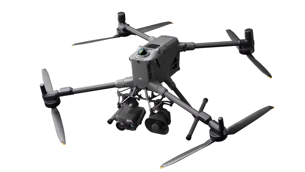
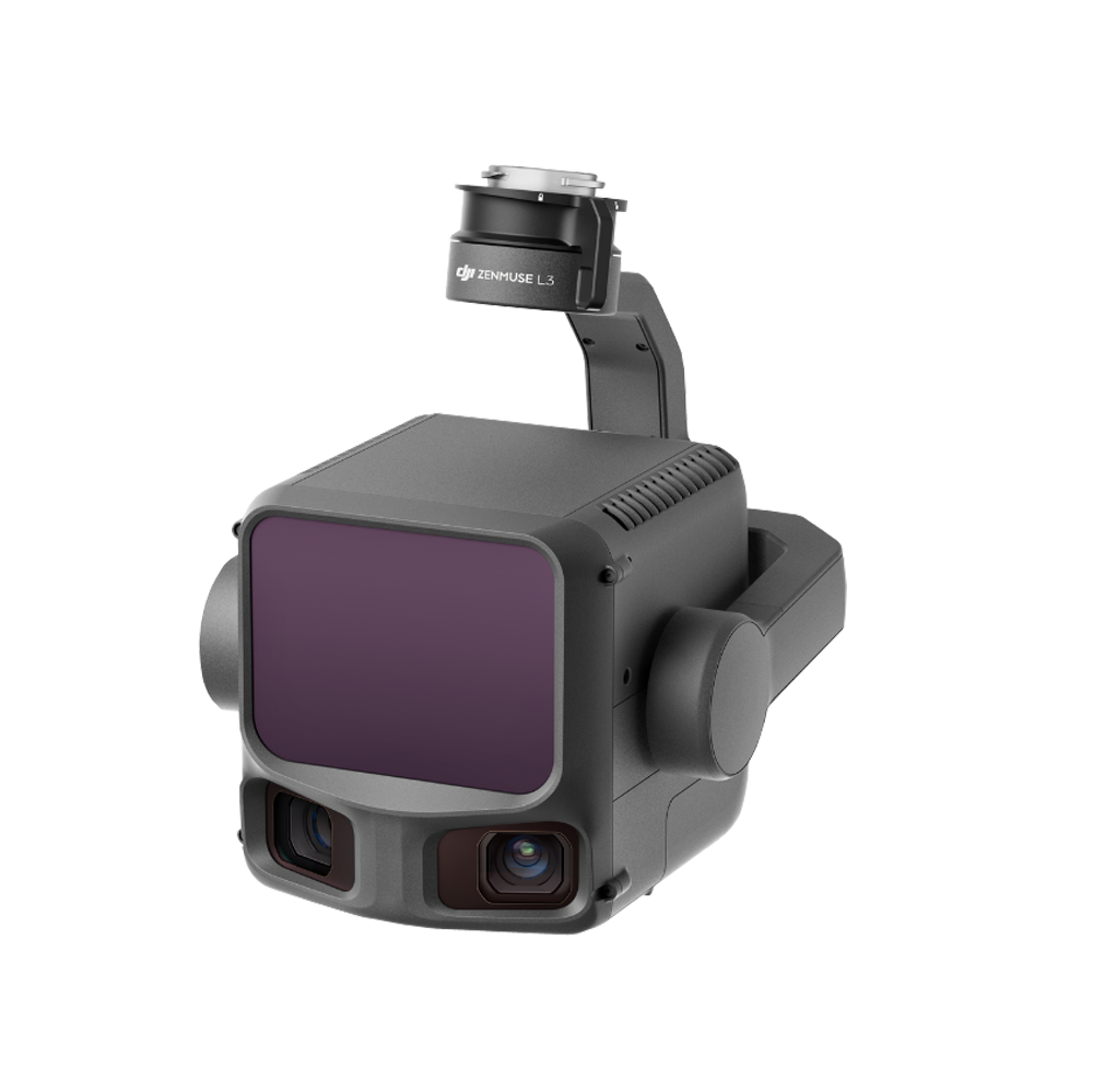
Zenmuse L2 integrates frame LiDAR, a self-developed high-accuracy IMU system, and a 4/3 CMOS RGB mapping camera, providing DJI flight platforms with more precise, efficient, and reliable geospatial data acquisition. When used with DJI Terra, it delivers a turnkey solution for 3D data collection and high-accuracy post-processing.

More information – https://enterprise.dji.com/zenmuse-l2


Բաժին՝ ,

Copyright © 2026 Dron.am

[:en]

DJI Zenmuse L2

Zenmuse L2 integrates frame LiDAR, a self-developed high-accuracy IMU system, and a 4/3 CMOS RGB mapping camera, providing DJI flight platforms with more precise, efficient, and reliable geospatial data acquisition. When used with DJI Terra, it delivers a turnkey solution for 3D data collection and high-accuracy post-processing.

More information – https://enterprise.dji.com/zenmuse-l2


Copyright © 2026 Dron.am

[:ru]

DJI Zenmuse L2

Zenmuse L2 integrates frame LiDAR, a self-developed high-accuracy IMU system, and a 4/3 CMOS RGB mapping camera, providing DJI flight platforms with more precise, efficient, and reliable geospatial data acquisition. When used with DJI Terra, it delivers a turnkey solution for 3D data collection and high-accuracy post-processing.

More information – https://enterprise.dji.com/zenmuse-l2


Категория: ,

О

First industrial drone operator in Armenia.

Copyright © 2024 Aeropict. All rights reserved.

[:]